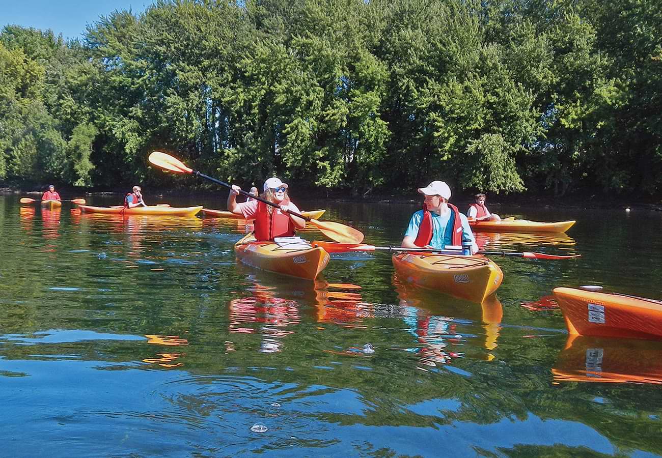
Geomorphology students traverse the Susquehanna
Cool Class clipart
" "
Geomorphology students traverse the Susquehanna.
" "
Geomorphology students traverse the Susquehanna.

Geomorphology

What Class?
Geomorphology
Who Teaches It?
Professor Craig Kochel, geology & environmental geosciences
Most labs take place outdoors, where students get hands-on experience making observations, collecting data and learning how to apply these to situations they will likely encounter in environmental consulting firms, government agencies or graduate school. My approach takes advantage of Bucknell’s location and focuses on developing observational and interpretive skills in the field.
We begin by interpreting soils in pits dug in terraces of the Susquehanna River at a nearby gravel quarry, a site where students have played an important role over the years in preserving a wetland by contributing to the understanding of shallow groundwater flow. With help from Ben Hayes of the Bucknell Center for Sustainability & the Environment, students traverse the Susquehanna River in kayaks to sample sediments and measure streamflow. These students are often excited to see how the riverbed is armored with large boulders inherited from enormous Pleistocene (ice-age) floods.

We are also fortunate to have an indoor facility to study river/hillslope processes experimentally with a large-scale sediment flume. Although students sometimes complain about shoveling 15 tons of sand to prep an experiment, they enjoy getting down-and-dirty in the big sandbox to watch stream channels evolve before their eyes as we alter sediment loads, tilt the slope of the 40-foot flume or rain on the experimental landscape. Students helped to simulate a landslide in the flume mimicking the deadly Oso Landslide of March 2014 in Washington, an exercise featured on the Canadian Discovery Channel.

My goal is to help students recognize the results of processes that shape the landscape and understand the many hazards we experience on a dynamic Earth.”
The culmination of the students’ field experience is a monthlong mapping project in western Union County, where they document the interaction of ancient glaciers, permafrost-laden hillslopes and extensive deposits of boulder- strewn landscapes created when glacial ice dams collapsed, releasing catastrophic floods across valley floors leading to Buffalo Creek. Students collect field observations, correlate these to existing soils maps, interpret aerial digital-imaging scans, and study aerial photos to create interpretive geomorphic maps of the region.

After completing this project, students are able to apply their knowledge of surface processes and landforms to real-world situations, such as mapping surface deposits related to stability, siting of wastes and hazard assessment. Students learn to study current processes and read sediments and landforms to squeeze out an understanding of past landscape history, including how past climate fluctuations have imprinted our landscape. They are also better able to predict how landscapes may behave during future climate change.

Photo: Craig Kochel